© 2024 Boise State Public Radio
NPR in Idaho
Play Live Radio
Next Up:
0:00
0:00
0:00 0:00
Available On Air Stations
Apple's latest iOS (17.4) is preventing our livestreams from playing. We suggest you download the free Boise State Public Radio app & stream us there while we work to troubleshoot the issue.

Using Drones To Map Idaho's Past

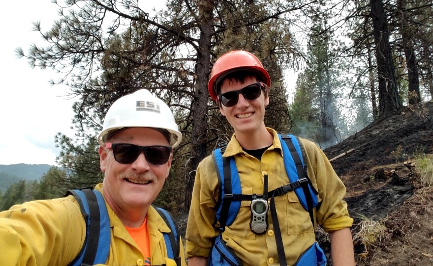
For four years, a group from Northwest Nazarene University has been using drones to map out burn areas to aid firefighters and research the behavior and environmental impact of wildfires.

This summer, the group led by NNU professor Dale Hamilton will use drones to create ariel photo-mosiacs of the Boise Basin and Boise National Forest to help archeolgists research the 150-year-old mining history of Idaho. Dr. Hamilton joins us with one of his students to talk about using drones to learn more about our state.

Stay Connected

You make stories like this possible.

The biggest portion of Boise State Public Radio's funding comes from readers like you who value fact-based journalism and trustworthy information.

Your donation today helps make our local reporting free for our entire community.